


1. Consultation
Understanding your project’s unique requirements.
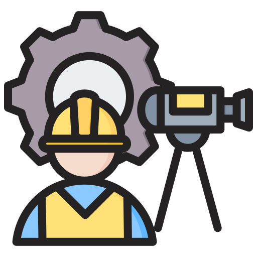
2. Site Survey
Employing cutting-edge equipment to capture.

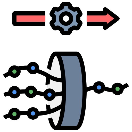
3. Data Processing
Turning raw data into actionable insights and deliverables.
4. Tailored Outputs
Providing everything from detailed floor plans to 3D BIM